Press Kit
Everything you need to know to write about Print Your Track, the iPhone app that turns a hike, ride or run into a 3D-printable terrain model you can put on your table.
Download Print Your Track from the App Store. The app is free to download and available in English, German, French and Italian. For press enquiries, write to press@topoprint.ch. No GPX file is needed for a first look: the app includes eleven example routes.
Print Your Track
3D-print your GPX adventure
Boilerplate
Three lengths, written to be quoted as they stand.
One line
Print Your Track turns a GPX file from a hike, ride or run into a 3D-printable model of the terrain you crossed.
Short — about 60 words
Print Your Track turns any GPX track into a 3D-printable terrain model you can preview in 3D, place in AR, and share. Import a route, shape the terrain, then download a print file or order a physical model from the app. Before upload, the app removes timestamps and other metadata from the GPX file on the iPhone.
Long — about 130 words
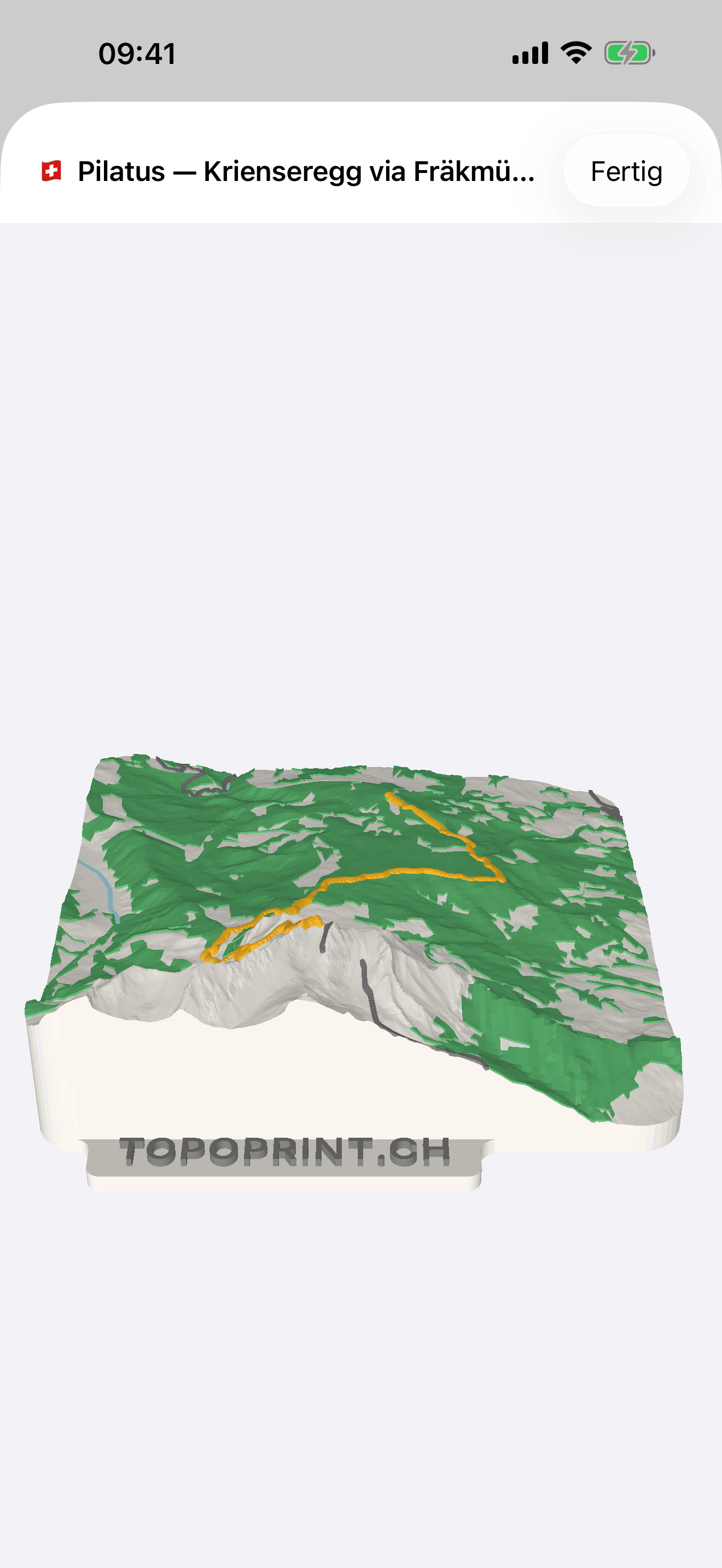
Print Your Track is an iPhone app that turns the GPX file of a hike, ride or run into a physical object: a topographic model of the landscape the route crosses, with the track itself raised along the top.
Import a GPX file or choose an example route, adjust the model's size, terrain padding and elevation exaggeration, then watch the landscape take shape in 3D. A shareable web page lets you preview the model in augmented reality, download it as USDZ, or share the result. You can also export GPX data, download a file for a 3D printer, or order a physical print through the app. Maker Pass adds larger sizes, color 3MF downloads and custom disc labels; it is a one-time purchase that does not renew automatically.
Privacy is handled before upload rather than after: the app removes timestamps and other metadata on the iPhone, so only route geometry, elevations and the track title ever leave the device. Models made in the app stay out of the public gallery on topoprint.ch.
Screenshots
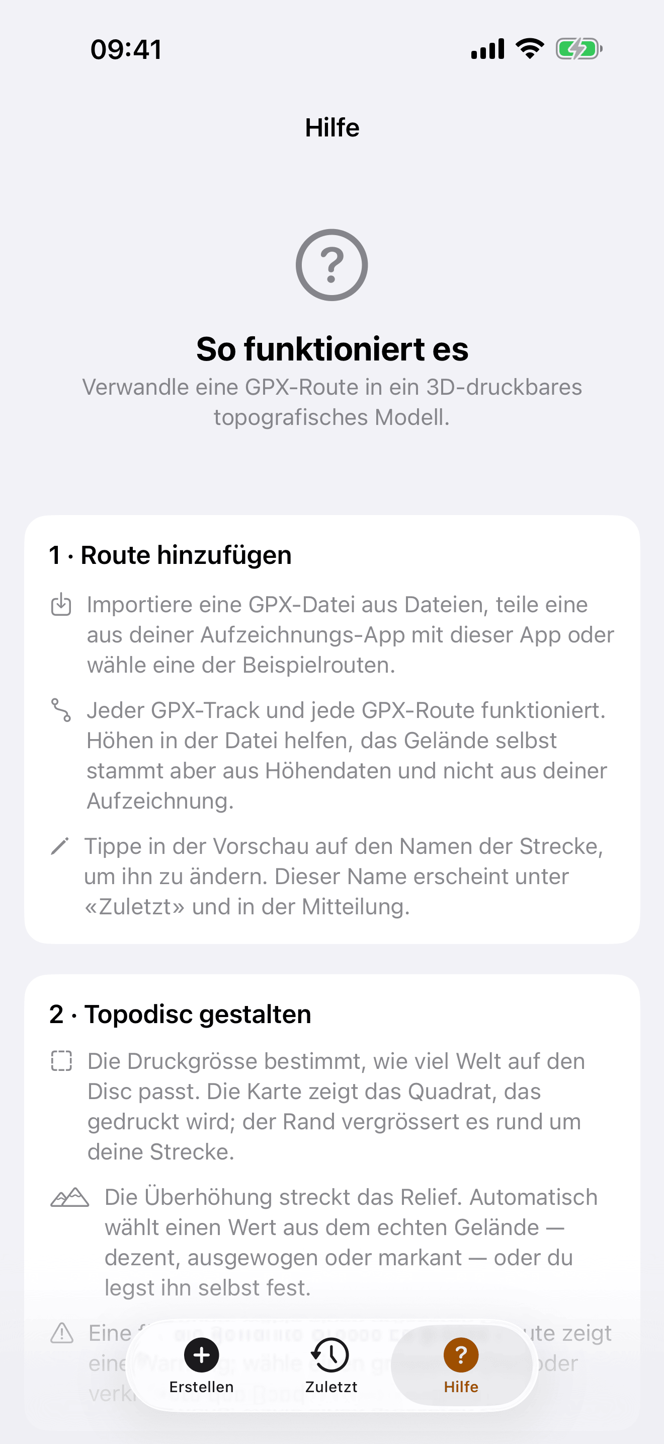
iPhone, 1320 × 2868, in English and German. Click any image for the full-resolution file, or take the whole kit as a ZIP (about 6 MB — both language sets, the app icon and a plain-text fact sheet).
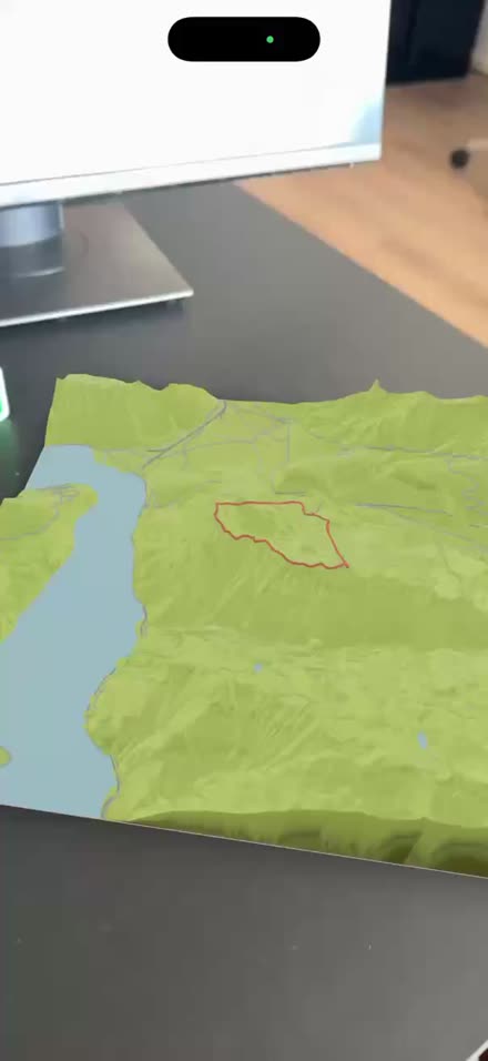


English


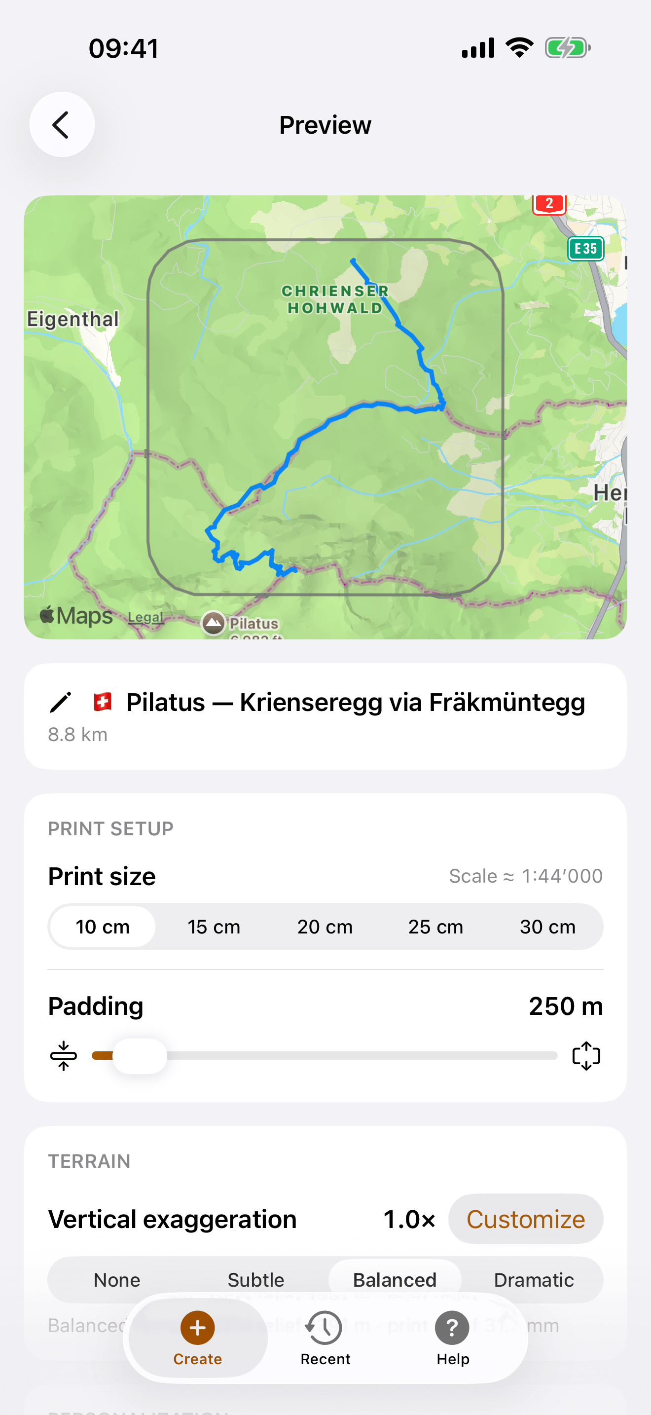

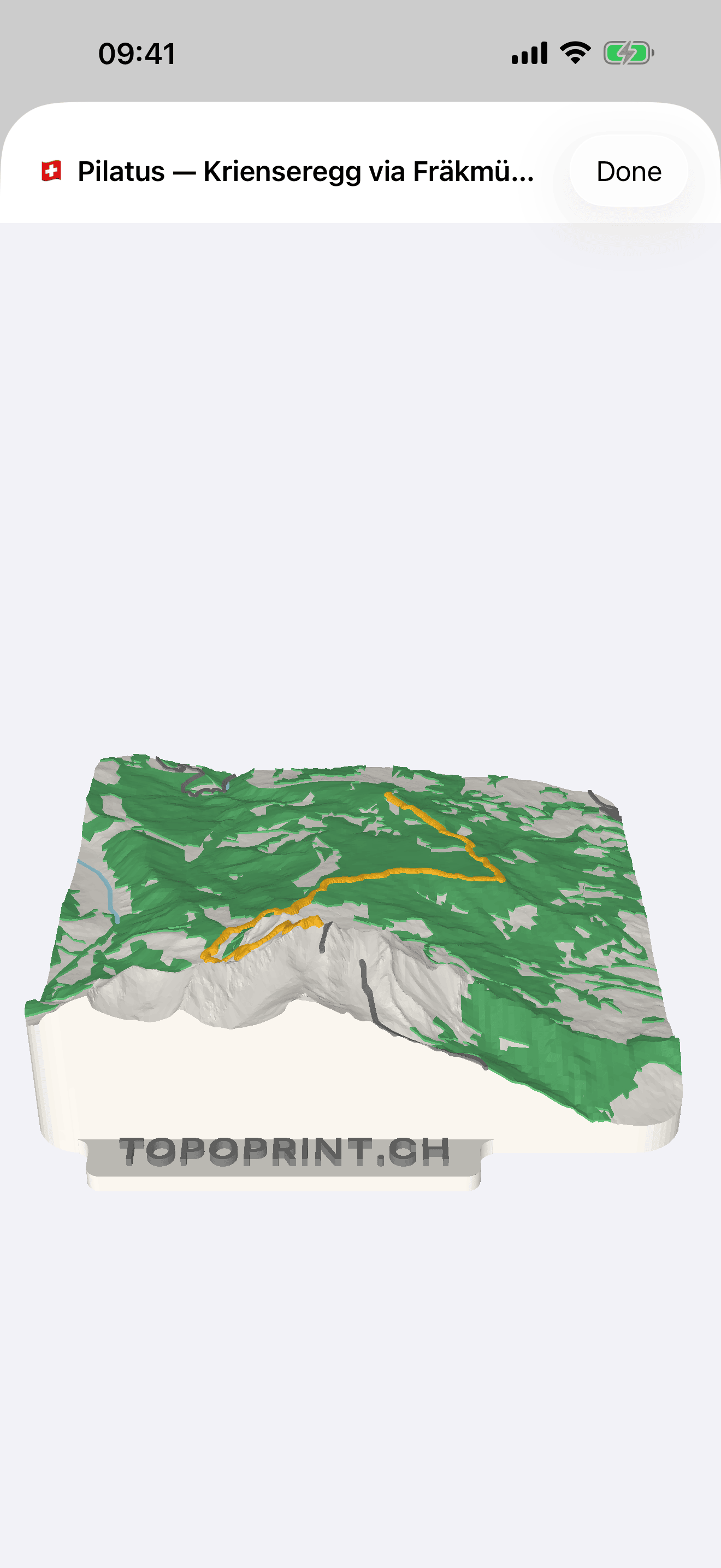

German

Making of

Fact sheet
| Name | Print Your Track |
|---|---|
| Subtitle | 3D-print your GPX adventure |
| Developer | Stephan Heuel, Topoprint.ch |
| Platform | iPhone, iOS 17.0 or later |
| Category | Lifestyle |
| App price | Free |
| App Store | Download Print Your Track; free, iPhone, iOS 17 or later |
| Upcoming update | The TestFlight build of version 1.1.1 improves processing reliability, gives clearer progress information when a build fails, and marks colored models in Recent. Version 1.1 added GPX export from the app, plus AR preview and USDZ download on shareable model pages. |
| AR videos | Screen recordings of the AR preview, all in MP4 format: the Swiss Alps, the Scottish Highlands, the preview beside a printed model, and a print beside its own preview at the Wägitalersee |
| Making-of video | A timelapse of a model being printed, MP4, not a screen recording |
| Maker Pass | CHF 8 for one month (up to 30 models) or CHF 20 for one year (up to 365 models). Both are one-time, non-renewing purchases. A pass unlocks larger print sizes, colored 3MF downloads, custom disc labels, and a hosted web copy of each print. It also helps cover cloud processing costs. These are introductory prices and may change. |
| Physical print | Paid separately. As a guide, the filament for a multicolor 20 cm model costs less than CHF 10 on a printer of your own. For orders outside Switzerland, costs can range from about CHF 20 for a single-color 10 cm model to more than CHF 100 for a multicolor 20 cm model, depending on material and volume. |
| Languages | English, German, French, Italian |
| Age rating | 4+ |
| Bundle ID | ch.topoprint.printyourtrack |
| Website | printyourtrack.com |
| Also on the web | Print Your Track in the browser; Topodisc Designer for Switzerland |
| Support | topoprint.ch/faq.html |
| Privacy policy | topoprint.ch/privacy.html |
| Status | Available on the App Store. Version 1.1.1 is in TestFlight and improves processing reliability, failed-build progress information, and the Recent list. |
| Press contact | press@topoprint.ch |
What it does
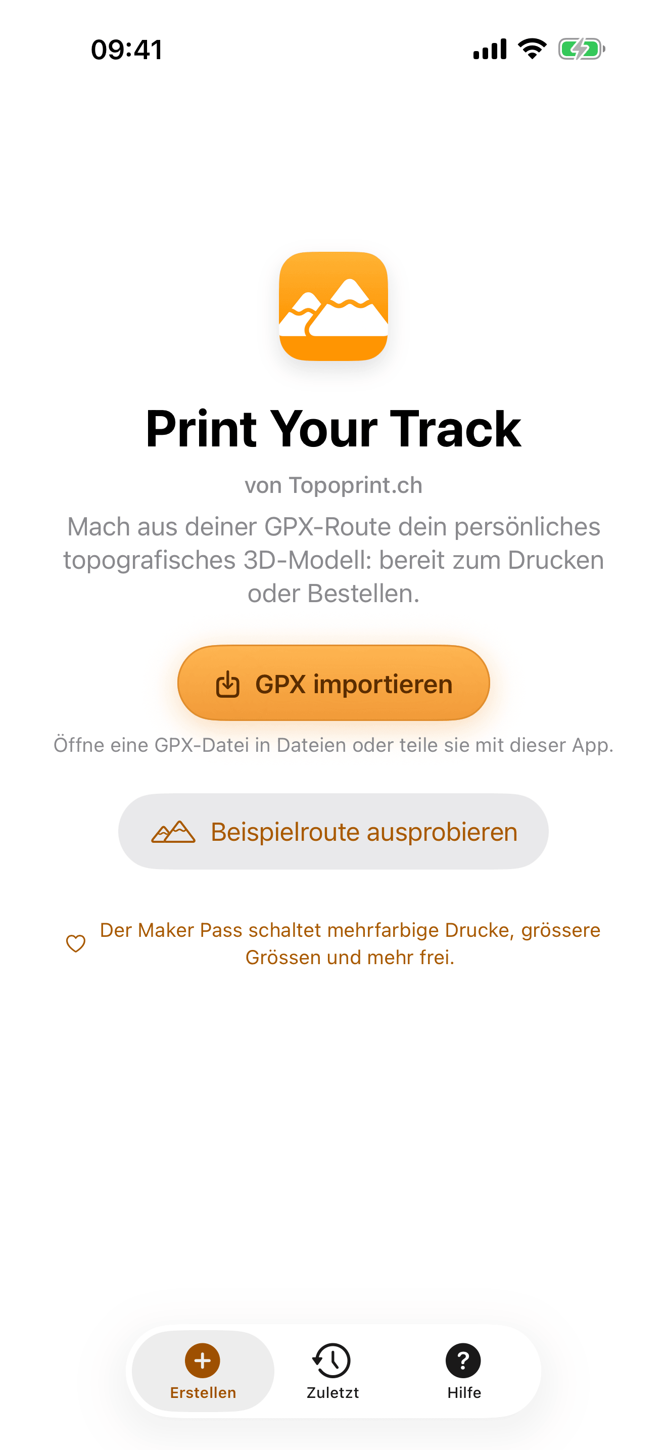
- Import or share a GPX file. From Files, or shared straight into the app from another app — plan a tour in the swisstopo app or record one with Pedometer++, export it as GPX, and it comes straight in.
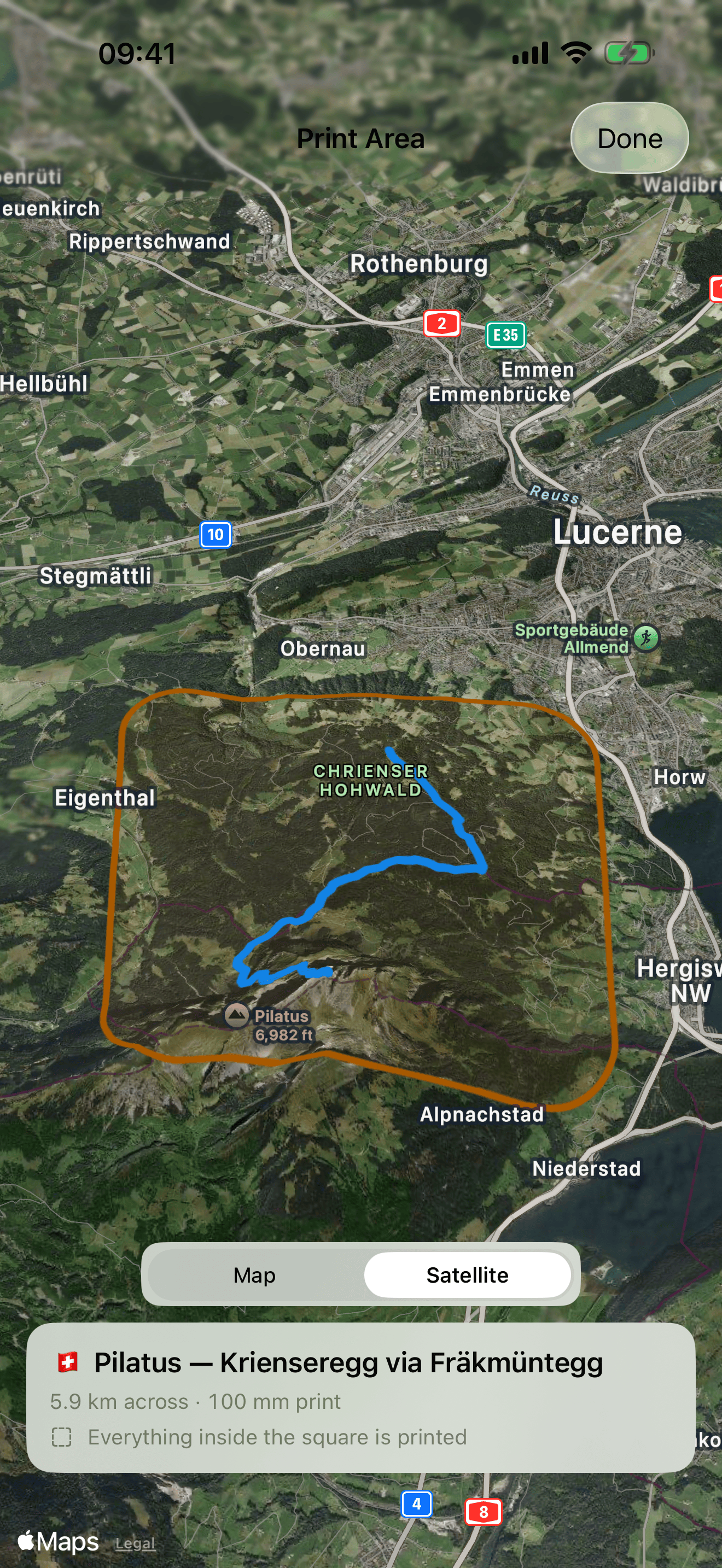
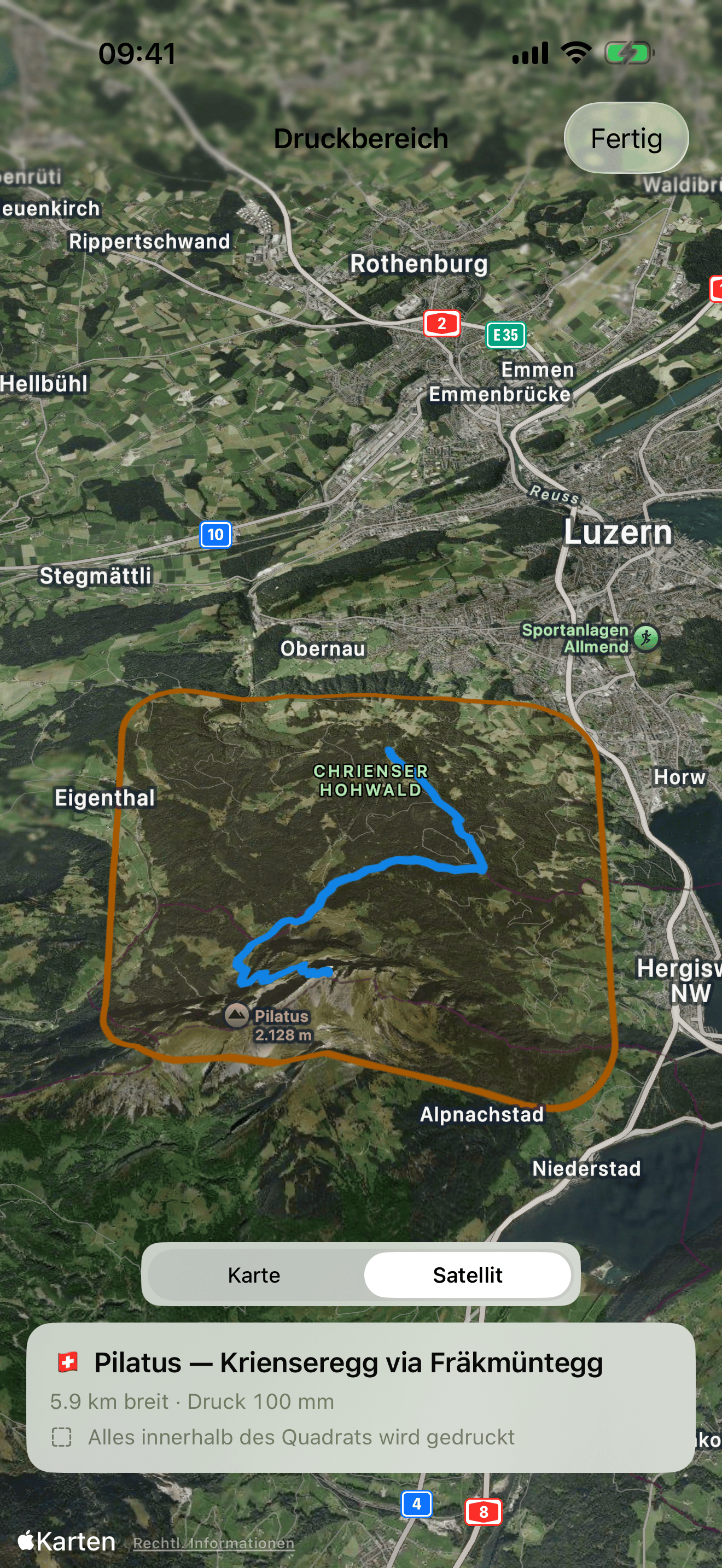
- See the print area before you generate the model. The route is shown on the map inside the square that will be printed — over satellite imagery if you want to see the landscape beneath it.
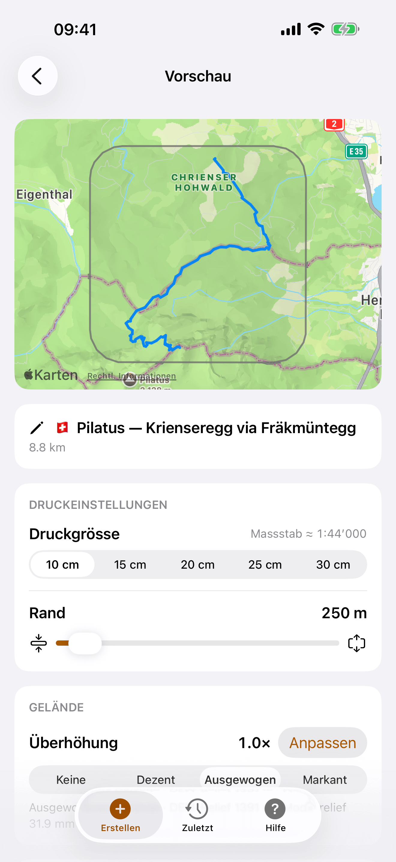
- Set size, padding and exaggeration. Print sizes from 10 cm to 30 cm, adjustable terrain around the route, and vertical exaggeration from none to dramatic.
- Process high-resolution terrain worldwide. Outside Switzerland, Topoprint processes digital elevation models through Mapterhorn, which brings together around 148 open national elevation datasets. Depending on the local source, resolution can reach sub-metre detail; where no finer national dataset is available, it falls back to Copernicus GLO-30 at about 30 m.
- Explore and share your model. Turn the model in 3D in the app. Its shareable web page adds an augmented-reality preview and USDZ download, so you can place it in your space before printing.
- Print it or order it. Download a print file or order a physical model from a printing service in the app. Maker Pass unlocks color 3MF downloads and larger models.
- Export the GPX data. Export the route data from the app whenever you need it.
- Processing you can follow. Processing is more reliable, including for a long GPX track from Sweden, and progress information makes failed builds clearer. Recent prints show whether the model is colored.
- Share the cleaned route. Share the privacy-sanitized input GPX from a completed print.
- Metadata stripped on the device. Timestamps and other metadata are removed on the iPhone before upload; only the route geometry, elevations and title are sent.
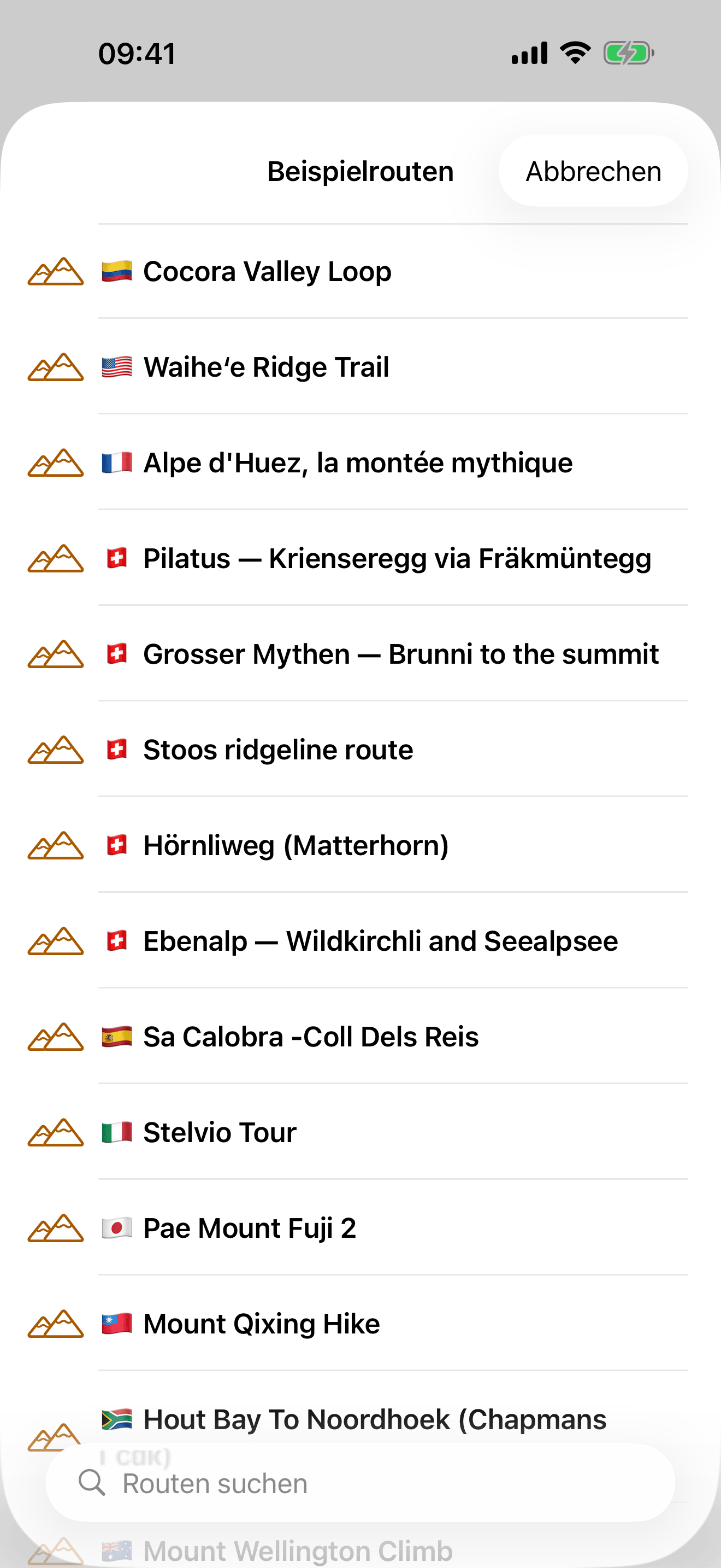
- Eleven example routes on five continents, for trying the app without a file of your own.
Printing, ordering and costs
The app creates the digital model. The physical print is a separate step and a separate purchase.
- Create the model in the app, then download the print file for a printer of your own or send it to an independent printing service from the app.
- The cost depends mainly on the model size and whether it is printed in one or several colors. Doubling the side length means at least four times as much material.
- A multicolor model uses four colors. That is a property of the printers themselves: a consumer multicolor 3D printer can feed a small, fixed number of filaments, and four is the usual count. So every part of the model is assigned to one of four groups — the ground, the water, everything built on it, and one accent color reserved for the subject of the print, your track or a highlighted building. Roads and buildings therefore share a color and are told apart by their height, not their hue. Printing in a single color is always possible, and assigning new colors can be done too.
- As a guide, the filament for a multicolor 20 cm model costs less than CHF 10 on a printer of your own. For orders outside Switzerland, costs can range from about CHF 20 for a single-color 10 cm model to more than CHF 100 for a multicolor 20 cm model. These are indicative prices and depend on material and volume; the binding price is shown by the printing service before ordering.
Printing services
For customers in Switzerland, the app uses Swiss company Teil3 as its preferred printing service. For customers elsewhere, it uses CraftCloud, a Germany-based service that brokers orders to production partners around the world. Topoprint creates the digital model, while the physical object is made by the owner of a 3D printer or by the selected independent printing service.
Brand assets
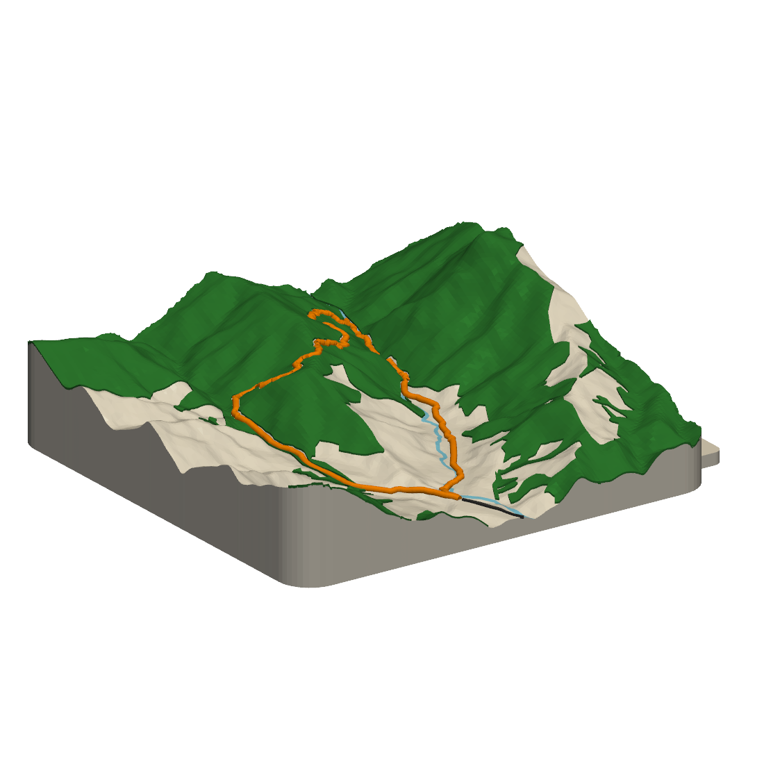
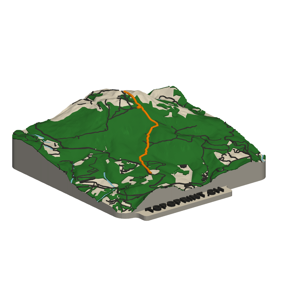
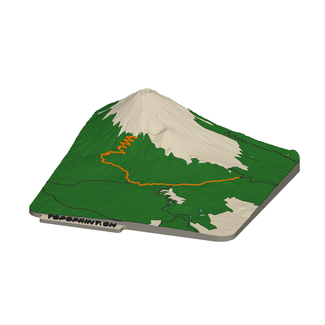
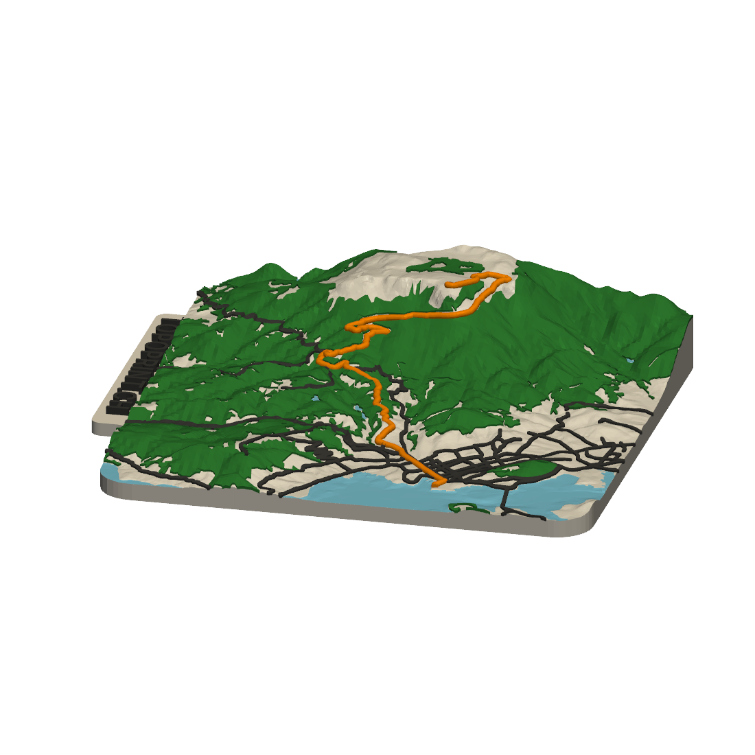
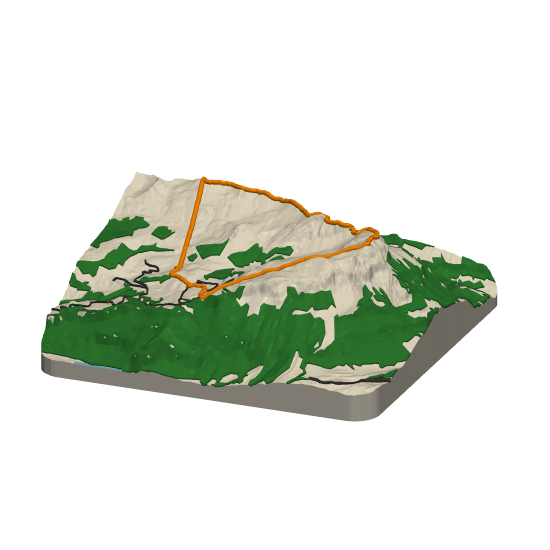
Free to reproduce in coverage of the app. Explore the terrain models below; each screenshot links to its result page. Please do not recolor the app icon or set it on a background other than its own orange.





#F19A38
#D23B3B
#2D3436
Data and credits
Inside Switzerland the models are built from swisstopo data — swissALTI3D for the terrain, swissBUILDINGS3D and swissTLM3D for buildings, bridges and water.
Elsewhere Topoprint processes terrain through Mapterhorn, which brings together around 148 open national elevation datasets. Resolution depends on the local source: up to sub-metre where available, with Copernicus GLO-30 at about 30 m as the fallback. Water bodies and the road and rail network come from Overture Maps. There are no buildings and no bridges outside Switzerland; see the FAQ for what that means for detail.
The app and the service are built by Stephan Heuel (@ping13@swiss.social). More on how the models are made is available on his blog.
Contact
Press enquiries and anything this page does not answer: press@topoprint.ch.